

01 / Eagle Eye
Start with a place.
Find a venue, address or neighbourhood. See surrounding streets, transport links, nearby venues and available local updates.
Eagle Eye
Know what could affect the places that matter to you.
For venue operators, retail and property teams, event organisers and anyone planning around a place. Bring local safety alerts, transport disruption, event activity and recorded crime into one view.
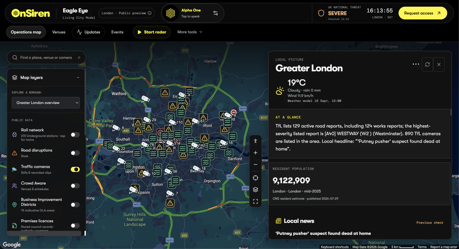
Greater London · Dashboard image
Product image from the current Eagle Eye website. Available information and update frequency vary by source and location. Powered by TfL Open Data. Contains ONS data licensed under the Open Government Licence v3.0.
Find a venue, address or neighbourhood. See surrounding streets, transport links, nearby venues and available local updates.
Bring local reports, travel disruption, weather and scheduled events into the same view. Check source details and update times.
Ask Alpha One about the place you protect. Explore the available evidence and bring relevant information into your team’s briefing.
Explore the information relevant to your site. Each layer brings a different part of the area into view.
Published road-camera stills and recorded clips help you understand traffic conditions around a place.
Reported incidents, closures and roadworks show the street segments they affect. Traffic colouring and published incident reports have separate sources.
Review network status and available station arrivals when planning access to a site.
Review event schedules, nearby public places and published timings as you plan for crowds, arrivals, departures and access.
See relevant alerts about drug circulation and associated safety concerns. Check the source, area and time of each notice.
See authorised missing-person appeals and be-on-the-lookout notices for the relevant area, with guidance on how to pass information to the issuing team.
Explore published crime and anti-social behaviour records by area and month. The reporting month stays visible.
See schools, hospitals, parks and venues around a site through published map information.
Explore published premises licences and planning applications. Available records vary by local authority.
See indicative BID areas and the wider local context around a site.
Select a place to bring weather, resident population, road reports and local news into the surrounding picture.
Source names, reporting periods and update times help you assess the information available.
How OnSiren worksAlpha One is the AI in the system. Ask questions in everyday language, explore the available evidence and bring relevant information into a briefing for your team.
Subscribe to Eagle Eye Urban Intelligence on its own, or add it to your team’s Control Room.
London · Birmingham · Manchester
£199per licence / month