Skip to explorer

OnSiren / Urban intelligence platform

Explore the local picture.

Explore a digital picture of a place. Choose a layer. Follow the connections.

City / 1 of 3 scales

London
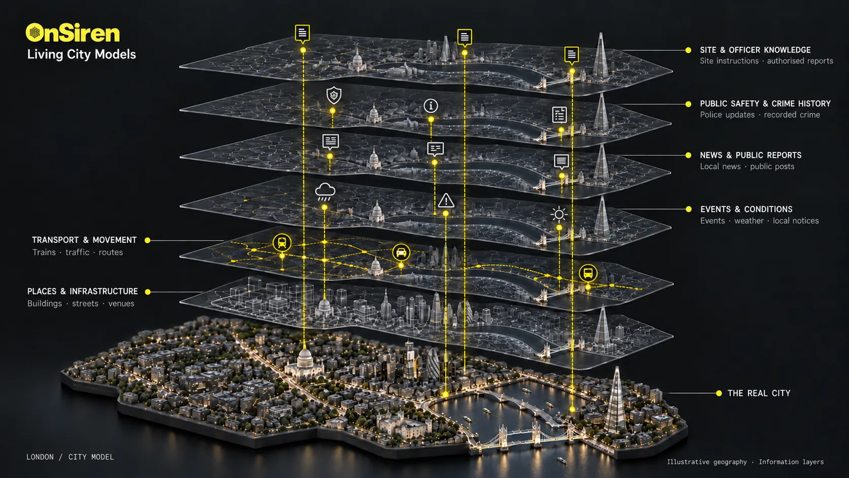
Illustrative example
London city model, drawn as six translucent information layers stacked above a lit model of the real city. From the top: site and officer knowledge (site instructions, authorised reports); public safety and crime history (police updates, recorded crime); news and public reports (local news, public posts); events and conditions (events, weather, local notices); transport and movement (trains, traffic, routes); and places and infrastructure (buildings, streets, venues). Yellow threads connect the same points through every layer down to the real city beneath. Illustrative geography.

Places & infrastructure

Tap to explore

London. Places & infrastructure.

Alpha One is the AI in the system. These illustrative examples connect places, events and updates to explain the local picture.

Cookies

We use cookies to understand how our website is used and improve your experience. These analytics cookies are optional: nothing is set unless you accept. For more information, please see our Cookie Policy.